
Svalöv is a working small town set in the open, gently rolling farmland of central-western Skåne. Its character is not built around a single monumental square: it is easier to understand as a meeting of an older church village and a later railway settlement, with schools, civic services and everyday shops linking the two. Statistics Sweden counted 4,250 residents in the statistical built-up area (tätort) on 31 December 2023. That figure describes the SCB-defined urban area, not the wider municipality.
A town with two historical centres
The landscape around Svalöv has been cultivated for a long time, and the town’s growth followed the same agricultural setting. The county’s cultural-environment account distinguishes Norra Svalöv, the church village and parish centre, from Södra Svalöv, once a village of ten farms. The distinction remains useful when walking: the church anchors the older settlement, while the station and the town’s later street grid tell a different story. Neither side is a museum quarter; together they show how a rural parish became a service and transport centre.
Parish, railway and plant breeding
The present church was inaugurated in 1878, replacing a medieval building that the parish account dates to 1175. The account attributes that earlier church to stonemason Mårten Stenmästare, but that attribution belongs to the parish’s historical narrative. A more decisive change in the town’s shape came in 1886, when the Malmö–Billesholm railway was laid and a station settlement developed south of the church village. A savings bank and, later, a hotel joined the station area. In the same year, Sveriges Utsädesförening was founded. Its plant-breeding work connected Svalöv’s name to agricultural science, while offices and headquarters built around the turn of the twentieth century left a visible architectural layer. The railway and seed research are documented turning points; they do not provide a precise “founding date” for the town.
Learning tied to the land
Agricultural knowledge became part of local life as well as the surrounding economy. Svalöfs gymnasium began in 1899 as Svalövs lantmannaskola, initially attached to Fridhems folkhögskola. Its own school building opened in 1921, and a teaching farm was acquired in 1927. The farm moved to Felestad in 1947; the school’s first upper-secondary agricultural programme followed in 1971. Today the school offers a broader mix of studies, but its history still explains why Svalöv feels like an educational centre in a farming district. The municipality’s economy includes small and medium-sized firms alongside agriculture and food-related activity; municipal-wide business descriptions should not be mistaken for a town-only employment breakdown.
Brick, church and civic memory
Svalövs church is a rewarding stop for its material history. The 1870s building combines grey stone with locally made Svalöv brick, and the parish says 30,000 bricks from the medieval church were reused. The medieval font and a baptismal dish dated 1647 also carry the earlier building into the present. Around the station and former seed-breeding offices, the architecture records the town’s expansion and specialist institutions rather than a single planned historic centre. For local context, the municipal archive at Herrevadsgatan 10 holds records reaching back to the 1860s, although access and opening arrangements should be checked ahead.
Green edges and journeys through the region
Water and woodland interrupt the cultivated plain: the municipality describes a stream, a lake and wooded areas in Svalöv itself. Svenstorp–Bolshus fälad nature reserve lies about 1.5 kilometres northeast of town. At Mölledammen, the municipality has described a stream-restoration project intended to replace the dammed course with a more natural, meandering channel; construction may change paths or access, so check the latest local notice before setting out. Farther north, Söderåsen’s beech woods, ravines and valleys make a broader countryside excursion, while the southern municipal landscape remains notably open and agricultural.
Svalöv is straightforward to reach without a car. The municipal transport page describes Pågatåg on Söderåsbanan south toward Malmö and north toward Åstorp, as well as regional buses linking neighbouring settlements. The route network is useful for building a day trip, but departure times, works and connections change; confirm the journey with Skånetrafiken. The municipal tourism service can help with places and events, though its office is seasonal. Allow time to walk between the church village, station area and green margins: that short sequence is the clearest introduction to Svalöv’s layered character.
 Tre berättelser om Svalöv: tågen, Veteväggen och året 2023
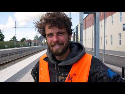 Streetcorner .se’s “Veteväggen” was published on 13 October 2022 and runs 11:46. The municipality links this film from its Swedish page about the mural at Kvarnhuset, where residents helped shape a large work about local places and stories. It offers cultural context for Svalöv; check the municipality for current access or events.
 Svalövs kommun published this 2023 year-end recap on 23 January 2024; it runs 4:45. The municipal description presents a host reviewing positive events from the year across the municipality. It is a dated civic snapshot rather than a visitor guide, useful for local context but not current opening or transport information.