Two hamlets above the Lez valley
Salsein is a small commune in the Couserans, in the Ariège department of Occitanie. INSEE counted 47 residents across the whole commune in the 2023 census; its comparator uses the commune boundary in force on 1 January 2026. The same census recorded 35 households and 56 dwellings, of which 45.7% were secondary or occasional homes. Those figures describe housing stock, not seasonal visitor numbers. Administratively, Salsein belongs to the Saint-Girons arrondissement, Couserans Ouest canton and the Couserans-Pyrénées community of communes; INSEE places it in the Saint-Girons living area and attraction area, outside any urban unit.
A field inventory produced by the Ariège architecture council (CAUE) with the regional nature park in 2006 locates the commune at roughly 800 metres in the Lez valley, over 572 hectares. It describes two distinct hamlets, Salsein d’en Haut and Salsein d’en Bas. Their layout, it says, had changed little since the mid-nineteenth century: the lower hamlet gathers around its church, while farms and barns form the upper group. The narrow lanes, small open spaces and stone agricultural buildings are best read as a lived mountain settlement rather than a purpose-built tourist village.
What the records establish—and what they do not
The CAUE inventory describes the church in the lower hamlet as an older building whose foundations may be medieval, while most of the structure dates from the eighteenth and nineteenth centuries. It notes a baroque altar and paintings, as well as a polychrome wooden Virgin and Child that the report cautiously dates to the fourteenth century. The study also catalogued water-related features: a bridge, covered and open-air washhouses, fountains and drinking troughs. It records that the covered washhouse and troughs were restored in 1999; the inventory is from 2006, so check the condition of individual features on site.
Local history needs careful wording. The same study observed a paved stretch of path for about 400 metres near Salsein d’en Bas and discussed the name Estrade, sometimes associated with an ancient road. It explicitly says the evidence cannot establish a Roman date; a medieval road remains possible. Likewise, Templar presence is presented as a hypothesis, not a proven local foundation. The report does place Salsein within the historical Castillon lordship, mentions the Du Pac family, and records a 1736 visit by the bishop of Couserans, who issued an order concerning the church. A fire on the nights of 4–5 October 1889 destroyed the communal archives, leaving gaps in the local record.
A marked mountain walk and practical checks
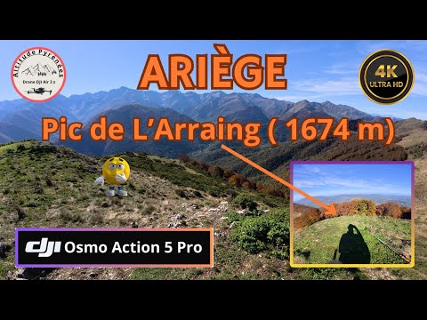
The official Ariège Pyrénées tourism listing describes the Tour du Mail Blanc as a marked loop starting at Salsein d’en Haut: 10.6 kilometres with 706 metres of ascent. Its route notes pass through beech woods and meadows toward the Col de l’Arraing, then return by the Col de Houga; a GPX file is offered. This is a substantial mountain outing, so confirm the current track, weather, snow, access and marking before setting out, and follow local guidance around grazing animals.
The official public-service directory lists the mairie at 63 Cami de la Messo, with reception on Mondays from 09:00 to 12:00 and 14:00 to 17:00. It lists France Services in Saint-Girons 13.8 kilometres away. INSEE counted just two employer establishments at the end of 2024, a very small base that should not be treated as a complete census of local work. Confirm mairie and service schedules before travelling.