Roseto Valfortore sits in a green valley of the northern Daunian Apennines, where the Fortore’s upper tributaries once powered a chain of watermills below the settlement. The village’s old core is compact and textured: stone portals, carved lintels, narrow lanes and the Arco della Terra gather around small squares. Beyond the last houses, woodland paths lead toward Bosco Vetruscelli and the wider mountain landscape. The contrast between close-knit streets and a broad rural hinterland is the key to understanding this corner of inland Puglia.
A small municipality with a large rural setting
Roseto Valfortore had an estimated 982 residents on 1 January 2026, according to Istat-based municipal population data. This figure refers to the whole comune, not just the historic centre. The municipality lies in the province of Foggia near the Campania boundary; Alberona, Biccari, Faeto and Celle di San Vito are among the neighbouring Daunian communities. Visitors come for the stone-built centre, traditional craft, mountain air and walking opportunities, but the place is also a working rural community rather than a preserved set.
Begin at Piazza Umberto I, the main gathering place, then move toward Piazza Bartolomeo III di Capua and pass through the Arco della Terra, the old principal entrance to the lanes. Look for carved stone portals attributed by the municipal account to local stonemasons, and for the Palazzo Marchesale and the Church of Santa Maria Assunta. The municipality dates the church to 1507 and notes its carved stone balustrade. Nearby, the small church of San Filippo Neri occupies an upper floor of a building that was adapted as an oratory in the seventeenth century. Fontana Vecchia, once a communal wash place and meeting point, helps connect the architecture with everyday village life.
History with an open beginning
The municipality is explicit that no certain document fixes the town’s foundation. Its historical account reports a Latin funerary marker from the first century CE, along with coins and other Roman-period finds, evidence of human activity in the territory rather than proof of a Roman-founded town. It also identifies 752 as the first written appearance of the name Rosito in a document. The date establishes an early documentary reference, not the exact beginning or uninterrupted history of the present settlement. Later growth is linked in the local account to medieval feudal families and to the compact nucleus associated with Bartolomeo III di Capua; the surviving lanes and gate are more tangible than any claim of a single foundation moment.
Stoneworking and water shaped both the built environment and local work. The municipal heritage description presents two restored watermills below the village, connected by channels that carried water from the Fortore system; the complex is dated to the nineteenth century, and one mill was brought back into use in the early twentieth century by Luigi Izzo. The buildings now serve educational and museum purposes, with tools and objects related to the work of the miller. The nearby “I Mulini” outdoor pool operates as a seasonal recreation facility, not a year-round attraction. Check opening arrangements for both the mill site and pool before visiting.
Forest walks, mountain routes and local food
Bosco Vetruscelli is the closest way to trade stone lanes for shade. The municipal visitor information describes paths through woodland, picnic areas and spring-fed drinking points. The Sentiero Frassati links Roseto with other Daunian villages and offers a longer mountain itinerary toward Biccari and Monte Cornacchia, the highest summit in Puglia. Published route descriptions give a demanding stage with substantial ascent, so treat it as a planned hike: verify the current track, weather, water and transport back before setting out.
Local food follows the agricultural landscape. Visitor information points to livestock farming and dairy products, seasonal truffle gatherings, bread baked in a straw-fired oven and flour connected with the restored mill tradition. The oven is demonstrated or used during local events; it should not be assumed to operate for casual daily visits. The annual Festa del Grano e degli Antichi Mestieri presents grain work and older crafts as community memory, while summer programming can also bring music and cultural events to the village and the mill area. Event dates change each year, so check the municipal visitor calendar.
A useful visit and the surrounding villages
A thoughtful day can start with the centre’s portals, church and old gate, continue to the mills and museum, and finish with a short woodland walk. With more time, follow the Frassati route or make a separate excursion toward Biccari and Monte Cornacchia. The historic core, mill complex, forest and surrounding villages are spread across a mountainous area; a car makes it easier to combine them, while walking routes require more time and planning. The municipality, local visitor portal and Pro Loco provide practical contacts. Dining, seasonal pool access and event facilities vary with the calendar.
How to get there
By car from Foggia, the municipality’s directions follow the SS 17 toward Lucera and then the SP 130 through Alberona to Roseto. A second provincial road connects the area with Biccari. Ferrovie del Gargano lists the Roseto–Alberona–Lucera bus corridor; travellers continuing by rail toward Foggia can use the bus-and-train interchange at Lucera. Roseto itself has no railway station. Bus services and the mountain roads can be affected by seasonal timetables or works, so check the operator’s latest notices and journey planner for the exact travel date.
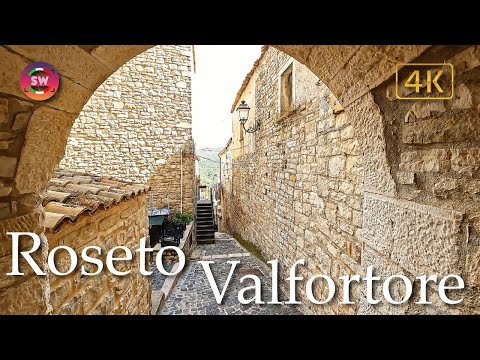 Roseto Valfortore in three videos: village walk, local story and wheat festival
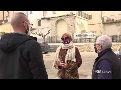 TRM’s 2-minute-19-second report, published on 21 January 2022, frames Roseto Valfortore as a village seeking new residents. It is a short local-news perspective on the demographic and community challenges that accompany the village’s cultural and natural assets. The story belongs to 2022 and should not be read as proof that a particular relocation incentive or offer is still available. Its value is the contemporary social context alongside the longer walking tour.
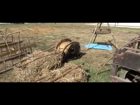 The municipality’s visitor portal published this 71-second promotional spot on 10 July 2026 for the Festa del Grano e degli Antichi Mestieri. The festival programme for that year presented grain work, traditional crafts, walks, food and music as a community event. This brief clip is a seasonal preview, not a guide to everyday opening hours or a guarantee that the same programme returns. It complements the street tour by showing how local heritage is also practised through public events; consult the current municipal calendar for future dates.