Porto Ercole faces a sheltered bay on the southern side of Monte Argentario, where the old harbour, steep lanes and Spanish-era forts make the coast part of the town’s history rather than a backdrop. Fishing and seafaring shaped the settlement; today its port and visitor services also serve sailing, leisure boating and seasonal tourism. Porto Ercole is a frazione of the municipality of Monte Argentario, not a separate comune. The municipality recorded 11,737 residents on 31 December 2025. That is the total for Monte Argentario, including Porto Santo Stefano and other localities; a separate settlement-level population figure was not confirmed in the official material consulted.
A harbour whose early story remains uncertain
The Comune’s historical account cautions that Porto Ercole’s earliest history is not securely documented. That matters in a place whose evocative name and coastal position invite easy claims of Etruscan, Greek or Roman beginnings. Archaeological evidence on the wider promontory demonstrates older human presence, but it does not establish a simple founding story for this present-day village. The better documented chapter is strategic: Siena and then the Spanish-led State of the Presidi developed coastal defences across the Argentario. After the 1557 treaty that created the State of the Presidi, forts around Porto Ercole guarded a harbour on a route between Spanish-controlled territories and the Tyrrhenian coast.
In the old centre, begin at the historic entrance beneath the Clock Tower and follow the stone lanes toward the waterfront. The sixteenth-century Palazzo dei Governanti and Bastione di Santa Barbara frame the small squares above the port. The Rocca Spagnola rises over the settlement; Forte Filippo and Forte Stella complete the best-known defensive group. Their walls, bastions and elevated positions explain why the bay was watched from several angles. Forte Stella’s distinctive star plan and sea-facing setting are especially striking, but access to the interiors can change with restoration, events or seasonal opening. Check before making a visit inside the forts the centrepiece of a day.
Caravaggio, coves and the coast beyond the harbour
Porto Ercole is associated with the last days of painter Michelangelo Merisi, known as Caravaggio, in 1610. Local interpretation and regional visitor information connect his final journey to the coast near the village, and a monument in the historic centre recalls that episode. The exact burial place and identification of his remains have never been established, so the story is best told as a documented historical association with unresolved details, not as a confirmed grave to visit.
The shore changes character around the bay. Spiaggia delle Viste is close to the centre and combines pebbles and sand, with both public and managed sections. Acqua Dolce is another nearby beach; Cala Galera has a low sandy shore and a marina. Spiaggia Lunga is reached by a short but steep path, a practical constraint that makes it unsuitable for some visitors. Boat trips and small-craft hire open access to coves that are difficult to reach on foot, but conditions, services and restrictions vary through the season. The Feniglia sandbar and nature reserve lie across the wider lagoon landscape, while Porto Santo Stefano offers another working harbour on the northern side of the promontory.
Maritime work, visitor services and a full day outdoors
The municipality describes fishing as the historic basis of the local economy and tourism as its present-day centre of gravity. Porto Ercole’s marina, beach businesses, restaurants and boat services make that shift visible, while the town’s quieter lanes retain a scale different from a purpose-built resort. The Corsini Botanical Garden adds a less obvious excursion: regional tourism information describes grounds of more than seven hectares with over 1,300 plants and more than 150 species. Confirm opening arrangements before travelling there. A municipal tourist information office operates in Porto Ercole on a seasonal schedule and can advise on beaches, cultural visits and current transport.
Allow time to combine the historic core with one fort or coastal walk, rather than trying to cover every cove by road in a single outing. The panoramic route around the promontory offers changing views, but it is a winding coastal road; follow signs and use designated parking. In summer, demand for parking and beach access increases. Check sea and weather conditions before boating, and follow any access notices for protected or privately managed sites.
Getting there and planning your stay
The nearest railway station is Orbetello-Monte Argentario, listed by the municipality about nine kilometres from Porto Ercole. Autolinee Toscane’s current line 0o2 connects Orbetello station with Porto Ercole, while Tiemme’s urban line O03 links Porto Santo Stefano and Porto Ercole. Both operators publish changing timetables and service notices; match the bus to your train and check the return journey, especially on weekends and outside the summer season. The official destination portal and local tourist desk can help confirm beach access, fort opening and practical services before you set out.
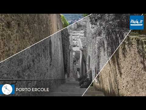 Porto Ercole in three videos: the harbour, a town walk and Forte Stella
 Andreea Vatavu’s 7-minute-18-second walk, uploaded on 23 February 2022, is more specific: its description marks the panoramic road at 00:11, Porto Ercole at 01:56 and the Church of San Paolo della Croce at 06:57. Those timestamps let viewers follow a small sequence from the approach into the settlement and one named religious landmark. It is a personal recording, not an official route guide, and its 2022 date means street conditions and visitor services should be checked separately.
 Riccardo Paolini’s 12-minute video is explicitly a visit to Forte Stella. The uploader says it was filmed on 26 July 2016 and published on 1 August 2016, making it a focused historical-site record rather than a current access notice. Its subject complements the town walk with one of the Spanish-era fortifications that define Porto Ercole’s strategic landscape. Opening arrangements can change; confirm whether the interior is currently accessible before planning around the video.