Tervola is a Lapland municipality shaped by the Kemijoki, the forests of its inland hills and a chain of villages between Kemi and Rovaniemi. Statistics Finland counted 2,837 residents across the whole municipality on 31 December 2025. The village centre sits on the main northbound corridor, but many of the places that explain Tervola are spread through the countryside: an exceptional Stone Age settlement landscape at Törmävaara, a group of three churches in the centre, the Paakkola local-history museum and the Kätkävaara trail.
Archaeology older than the municipality
Törmävaara is not a legend of a lost ancient town: it is an archaeological area with recorded Neolithic dwelling depressions. The Finnish Heritage Agency's inventory identifies a substantial settlement complex; one site contains more than 90 dwelling foundations, and the northern cluster has more than 200. They sit among ridges and traces of ancient shorelines. The evidence supports a long human history here, but it does not prove a Roman, Greek or other classical-era origin. The nearby old village school interprets the area's prehistory, while the Orthodox Trifon of Pechenga chapel connects Tervola with a later strand of regional religious history.
In the centre, three churches on the same grounds make the changing scale of parish life unusually visible. The timber Old Church, a rare buttress-supported building, was constructed in 1687–1689 and served the parish until a larger church was completed in 1864. After restoration in 1948–1950, the old building returned to seasonal use. The large wooden church was built in 1861–1864, and the parish-centre church followed in 1974. Together they record different periods of growth and worship along the Kemijoki. The buildings are active religious sites, not museums with guaranteed daily access; confirm opening arrangements with the parish.
From a museum yard to the river valley
The Paakkola local-history museum gives visitors a more recent view of life in Peräpohjola. Its 3.6-hectare grounds contain about 30 buildings that present settlement, farming and school history. A municipal update in June 2026 reported a new accessible service building and improvements to the grounds. The museum café is seasonal, and opening dates should be checked before travelling. It lies close to Highway 4, which makes it a practical stop on a Lapland road journey, but the displays reward more than a quick coffee break.
Kemijoki gives Tervola its broad landscape and working history. Ossauskoski is one place to see the river's managed power and changing water levels; shore access and conditions should be checked, especially during flood releases. Farther north, Kätkävaara rises above Loue as a rocky fell with old shore formations known locally as devil's fields. Its marked circular trail is about seven kilometres, usually a three-to-four-hour walk, with an observation tower, shelter and interpretive stops. A 600-metre route around Perälampi is accessible, as is the first 300 metres of boardwalk to a shelter; the full mountain route is not accessible and includes uneven rocky ground. A crucial current condition: as reported in August 2026, paid tour operators were prohibited from bringing paying clients onto the municipally maintained trail. Confirm current rules with Tervola before arranging a commercial outing.
Work, services and a practical route
Tervola's economy includes forestry and wood processing as well as municipal services and rural livelihoods. A municipal assessment names local sawmill and wood-processing firms among the area's major employers. Nature tourism is growing around the river, dark skies and hill trails, but many providers are small; check lodging, meals and guided services directly, particularly outside summer and the northern lights season.
Highway 4 passes through the municipality, and the official visitor map shows both the railway and Tervola station. Tervola's 2026 guide estimates about 45 kilometres to Kemi and 75 kilometres to Rovaniemi by road; these are approximate distances, not real-time travel times. VR lists departures at Tervola, although the station has no staffed passenger services. Check the train schedule and any track-work bus before booking, and arrange a car or local transfer for attractions beyond the centre. A rewarding day can pair the church grounds with the museum, while Kätkävaara and Törmävaara each deserve a separate outdoor and heritage visit.
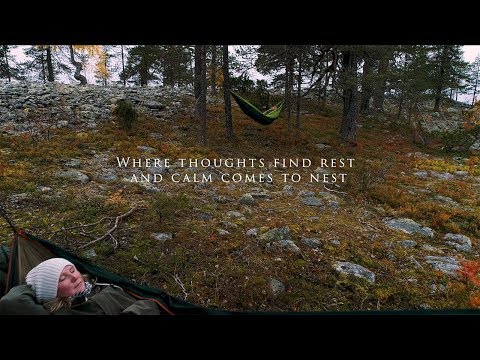 Tervola in three stories: the Kätkävaara landscape, Kemijoki and local life
 This recording documents a flood discharge at Ossauskoski on the Kemijoki in Tervola on 15 May 2025. It gives the river a different character from the quieter shoreline and forest scenes: here water management and flow are the subject. The video is a dated event recording, not a reliable indication of current water levels, safe river access or operating schedule. Check local notices and stay clear of restricted or hazardous banks.
 The Tervola municipality channel titles this 2026 feature Moving to Tervola, real stories. The official title presents it as a set of first-person accounts connected with moving to the municipality, adding residents' perspectives to a guide focused on landscape and heritage. The recording can offer a personal introduction, but it is not a current directory of housing, work or public services; check the municipality's live information for practical arrangements.