Keminmaa is a Lapland municipality whose story follows the Kemijoki rather than the winter-sports image many visitors first associate with the north. It lies between the coastal towns of Kemi and Tornio, with riverbank villages, a compact service centre and a landscape shaped by fishing, forests and industry. Statistics Finland counted 7,576 residents across the municipality on 31 December 2025. The most memorable visit is a short sequence of contrasts: a medieval church on a river bluff, a neighbouring nineteenth-century church, a forest trail near the centre and the working infrastructure of the Kemi–Tornio region.
A river corridor with a long human record
The municipality’s local-history account says permanent farming settlement was taking root at the mouth of the Kemijoki from the early eleventh century. Families came from Satakunta, Häme and Karelia, drawn above all by salmon. Archaeological surveys have recorded settlement traces and cooking pits across the area. The first parish church stood at Valmarinniemi, where a church site and cemetery date to the fourteenth century. Later, trade gathered around Haminasaari, roughly three kilometres upstream, near the old stone church. This was a river and market landscape with changing routes and livelihoods, not a town founded by Romans or Greeks.
The church that draws most visitors is St Michael’s, a natural-stone building from the first half of the sixteenth century. Its exact chronology has been refined: older records gave 1520 as the construction year, but dendrochronological work suggests that date may refer to the building decision. The sacristy was built around 1530 and the nave in the early 1550s, perhaps in 1551–1553. The church was later used as a winter burial place and then restored. It stands with a cemetery and old trees on a slope above the river, while the busy Rovaniementie passes between it and the newer church.
Rungius: history, burial and local tradition
The old church is also associated with Nikolaus Rungius, the parish priest who died in 1629 and was buried beneath the choir floor. His mummified body remains on view inside the building. A local saying attributes to him a challenge that his body would decay if his words were untrue and remain unchanged if they were true. That is a tradition attached to the site, not a documented explanation for the body’s preservation and not evidence of a miracle. The church’s layered story is strong enough without turning a local belief into a historical fact.
Beside it stands the “new” church, which is itself nearly two centuries old. It was built from drawings by C. L. Engel and completed in 1827. Together, the two churches make a striking stop: a medieval stone structure and a larger neoclassical church occupy the same hillside, divided by a modern road. The old church is not necessarily open when a traveller arrives. Contact the parish for visits and opening arrangements, especially outside the summer season.
Kallinkangas and a working landscape
For a change of scale, Kallinkangas begins close to the municipal centre. The protected recreation area combines rocky high ground, pine forest, a species-rich grove and wetland. The municipality marks a 1.9-kilometre loop with 13 interpretation signs, as well as a more demanding 1.5-kilometre linear route. On dry days, ordinary walking shoes can be sufficient, but rain and snow alter the footing. Stay on existing paths, particularly where the trail crosses sensitive forest and wet habitats.
Keminmaa’s economic life reflects its position within Meri-Lapland. The municipality describes services and processing as major parts of the local economy and names the Elijärvi chromium mine among its largest employers. Timber and housebuilding, stainless-steel finishing, leather and plastics processing, and suppliers to regional industry also feature. This employment base sits beside old riverside farms and residential villages, so the municipality is not simply a suburb of Kemi or a heritage stop. It is a place where industrial work, everyday services and a long river settlement coexist.
Getting there and building a visit
Kemi is about seven kilometres away and Tornio about nineteen, according to the municipality. Regional buses link Keminmaa with Tervola, Kemi and Tornio, and the wider area has road and rail connections. The Meri-Lapland transport authority publishes seasonal timetables; service days and connections change, so check the exact date before travelling. For a first visit, combine the old and new churches with Kallinkangas. With more time, follow the river villages and their old farmyards, then use Kemi or Tornio for additional accommodation and services. A church visit should be arranged in advance, and outdoor routes should be checked for current conditions.
 Keminmaa in three films: local sights, St Michael’s church and the river
 Kalervo Tiirikka’s short film is devoted to Keminmaa’s St Michael’s church. It gives a visual encounter with the stone building that defines the old churchyard, but the current parish account is the better source for its construction chronology and visit arrangements. The church is seasonally accessible or visited by arrangement; confirm before travelling.
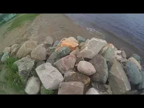 MLCtheone’s 2016 river-side walk records a quiet moment in Keminmaa beside the Kemijoki. The modest point of view is useful alongside the municipality’s account of the river’s role in settlement and work, but the clip is not a mapped route or access notice. Check current paths, river conditions and local signage before planning a longer walk.