Mühlau is a small municipality between Chemnitz and Leipzig whose story is easier to read in working buildings and public places than in grand monuments. Its setting is part of the Mulde loess-hill country, and its position on the old B95 corridor and near the A72 keeps it connected to the cities around it. The official statistical register counted 2,060 residents across the whole 8.09-square-kilometre municipality on 30 September 2026. That is a municipal total, not a count of the built-up centre alone.
A name with a documented history and an unproven origin story
The municipality’s history page gives 1346 as the first written mention, under the name Mehlen. The Saxon Institute for History and Folklore’s historical gazetteer instead lists 1357, with the forms Meilin and Meylin. Later records show a succession of spellings, including Melin, Mylen and Mylle; Mühlau appears in 1748, while the current spelling was fixed in 1866. The safest conclusion is that the settlement is documented from the fourteenth century, not that it was founded in a particular year.
A local account links the settlement to people from Mehlem on the Rhine and points to similar-sounding landscape names in both places. It is an evocative explanation, but the parallels do not establish a migration, and the sources consulted do not provide proof for it. Mühlau’s more tangible historic form is that of a Waldhufendorf: farmsteads and strips of land arranged along the local stream and fields.
From spinning mill to a changing industrial landscape
The surviving industrial story is unusually concrete. A spinning-mill building by the Grützteich was erected in 1809. The municipal account says it once rose seven storeys; after building inspectors closed the unsafe structure in 1900, its upper four floors were removed. The spinning rooms had been in the roof levels, where workers—including women, men and children—had no escape route. A roof storey returned in 1922, and the tall chimney disappeared in the late 1950s. The building is a reminder of both the ingenuity and the cost of early factory work; it should be viewed as an industrial remnant, not treated as an open museum.
Textile trades once extended well beyond that mill. The regional visitor association records cloth makers, linen weavers, hosiery, knitting and dyeing businesses, alongside later glove and packaging factories. The industry shaped Mühlau into the late twentieth century, then largely disappeared after 1990. A commercial area now occupies the eastern side of the municipality, with firms in metalworking, mechanical engineering, specialist technology and electronics. The Eschenbach company, still based in Mühlau, makes tents and textile structures—one example of how local manufacturing has changed rather than vanished altogether.
A church beside a difficult memorial
The late-Gothic hall church, dated to around 1500 by the county heritage service, stands beside a memorial landscape known as the Platz der Ermahnung. The site deserves a slower reading. Its first memorial phase was planned in 1928 for Mühlau residents killed in the First World War and realized in 1929. A 1943 expansion added language that the county’s heritage study identifies as Nazi propaganda. In the early 1950s, the place gained another layer of names and a warning text from Bertolt Brecht, although the inscription was attributed locally to Mayakovsky. The result is not a single, unchanging monument but a record of how public memory was repeatedly reshaped. The municipality reports that the stonework and inscriptions were restored in 2022–23.
Walks, services and a realistic visit
Mühlau is a lived-in village, with medical facilities, shops, inns, sports spaces, a bowling alley, associations and a mobile library that visits every four weeks, according to the municipality. The same local page describes woodland restoration, renatured areas and wetland biotopes in the surrounding landscape. For a longer excursion, Limbach-Oberfrohna’s municipal walking guide describes a 9.4-kilometre route through the Bräunsdorf and Rußdorf area, following the Mühlbach and Mühlauer Weg toward Knauteich. The pond once served a mill and later a bathing area; today it is maintained for flood protection in neighboring Niederfrohna, so it should not be presented as a swimming spot.
By road, Mühlau lies on the B95 corridor between Chemnitz and Leipzig, with access to the A72. By public transport, REGIOBUS line 650 connects Chemnitz with Penig via Hartmannsdorf and Mühlau. Temporary diversions and timetable changes are listed by the operator, so check the current service before travelling. Arrange any visit to local heritage sites in advance and treat Mühlau as a place to explore through its layers—rural settlement, textile work, community services and changing remembrance—rather than as a resort with a large tourist infrastructure.
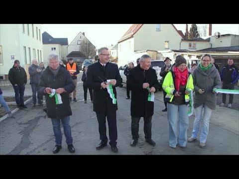 Mühlau on record: local roads, enterprise and rural surroundings
 This short MDR Mittagsmagazin feature concerns Eschenbach GmbH in Mühlau. The company’s current site confirms its local address and its work with tents, textile structures and technical fabric products, giving the clip a useful connection to the town’s continuing manufacturing economy. It is a television business feature from 2016, not an invitation to tour the factory; visitors should arrange any contact directly with the company.
 The title identifies this as a spring 2021 film covering Penig and Mühlau, while the creator describes it as handheld 4K footage. It offers regional seasonal context, but gives no route, named landmarks or guarantee that every scene is within Mühlau. Use it as a visual companion to the surrounding countryside rather than as a map or evidence of a specific attraction.