Allmendingen is a working rural municipality in the Alb-Donau district of Baden-Württemberg, shaped by an old river valley, five distinct settlements and a mix of industry and countryside. The municipality counted 4,755 residents on 31 December 2025 across Allmendingen, Ennahofen, Grötzingen, Niederhofen and Weilersteußlingen. That is the population of the entire municipality, not only the central village. The core stands at 512 metres above sea level; the municipal territory rises to 750 metres near Ennahofen.
A landscape made by an earlier Danube
The valley around the Schmiech gives Allmendingen its distinctive setting. Local information describes it as a landscape formed by the Urdonau, with waterways, wooded slopes and exposed rock shaping the transition between the Alb uplands and the valley floor. The Schmiechener See nature reserve and wetland paths are a reason to slow down here: this is a place for observing the landscape from marked routes, not for treating protected ground as an informal picnic or swimming area.
Several walks begin at Allmendingen station. The municipal route over the Lichse and into the Weites Tal covers 11 kilometres, with a shorter option of eight kilometres; the published walking estimate is roughly two to two and a half hours. A second 11-kilometre circuit leads over Hausener Berg into the Siegental. The walk or cycle toward Schmiechener See is another 11-kilometre outing, with a shorter eight-kilometre option. The nesting-aid trail on the Allmendinger Lichse offers a smaller-scale visit. Check the municipality’s route notes and conditions before setting out.
Old records, five communities
The historical record reaches back well beyond the present village. Hallstatt graves dated by the municipality to 1200–450 BCE show that people lived in this area in the Iron Age; they do not establish an uninterrupted settlement at today’s centre. A charter of 961 confirms Allmendingen in an exchange involving the Bishop of Chur and Schwarzach Monastery. The municipal account also cites newer evidence for an earlier existence during Louis I’s reign, between 814 and 840, when Bishop Nottung gave the community to Reichenau Abbey. These records make an early medieval history plausible; they are not evidence of a Roman foundation.
In the fifteenth century the lords of Freyberg held local manorial and judicial rights, and the castle in the centre remains a marker of that chapter. The present municipal shape is more recent: Ennahofen, Grötzingen, Niederhofen and Weilersteußlingen joined the central municipality in the 1974 local-government reform. The town hall began as a school in 1911 and became the Rathaus after 1973. Nearby, the former town hall reopened after renovation in 2019, while an 1885 school building now serves as a civic house.
A living place, not an open-air museum
Allmendingen’s economy is broader than its rural surroundings suggest. The municipality describes a balanced mix of local businesses, with about 50 members in its trade and commerce association. Its directory includes cement and building materials, mould making, logistics, agriculture, retail and skilled trades; Schwenk, Rampf and Denkinger are among the larger local employers named by the municipality. Everyday services also matter: the town lists schools, kindergartens, social services, shops and medical care in the municipality.
For visitors, the centre’s churches, chapels and civic buildings pair well with the local-history museum in Grötzingen, the forest swimming pool and its nearby mini-golf course. The annual FiZ community festival, organized with local associations at the start of the summer school holidays, gives another glimpse of village life. Opening times and seasonal facilities should be checked before travelling.
Arriving and exploring nearby
Allmendingen has a railway station with regional services toward Ulm via Blaubeuren and toward Ehingen. The station is unstaffed, so plan connections in advance and check live timetables for engineering work or replacement buses. The municipality is part of the DING public-transport network; some holiday bus services require advance telephone booking.
For cyclists, the municipality suggests a longer regional ride from Ehingen through the Urdonau valley and Allmendingen, continuing to Hohle Fels near Schelklingen, the Blautopf spring in Blaubeuren and then Ulm. The cave and spring are nearby excursions rather than sights within the municipality. Together with the shorter local walks, they make Allmendingen a useful base for seeing how a rural settlement, a former river landscape and the wider Alb-Danube region fit together.
 Allmendingen and its nearby landscapes: villages, cave and spring
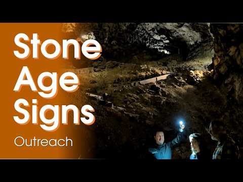 Stone Age Signs filmed its project at the Hohle Fels World Heritage Day in nearby Schelklingen, where the team met researchers working at the cave. The video adds a human research perspective to a destination named in Allmendingen’s regional cycling itinerary. It concerns the cave and archaeological outreach, not the village itself; check current opening and tour arrangements.
 Oliver Knott’s video introduces the Blautopf in Blaubeuren, a regional destination on the longer cycling route recommended by Allmendingen. It gives viewers a look at the spring setting beyond the municipality and complements the valley and cave excursions. The film is a visitor’s view, not a current access notice, so confirm local conditions before planning a trip.